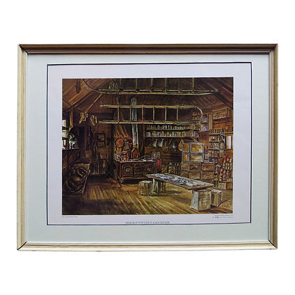
'South' Exhibition
7 - 21 October 2023. 10 - 4.30pm daily
Pūmanawa Gallery, First floor, Boys’ High building, The Arts Centre, 28 Worcester Boulevard, Christchurch.

ANTARCTICA
The existence of a vast and rich southern continent known as Terra Australis, that we now know as Antarctica, dates back to the time of the ancient Greeks who believed a vast southern landmass was necessary in order to ‘balance’ the landmasses in the northern hemisphere. Many nations (especially the Dutch and the British) gave special instructions to their explorers to find it and claim it for their respective countries.
MAPPING AND CHARTING ANTARCTICA
Despite Britan’s reputation as a maritime nation, they came late to the field of mapping the world and new discoveries concentrating more on their own country hence many maps are by other nations, in particular France, Italy and Holland (many of which are included in this Exhibition).
Fortunately, the “Heroic Era” including the exploration of Antarctica coincided with the production of atlases and early colour printing techniques (e.g. chromolithography). Up until this time charts and maps were hand-coloured copper or steel engravings. Both types of mapping are represented in this Exhibition. It is important to note that much of the early exploration in the south seas was undertaken by commercial whalers and sealers.
NEW ZEALAND AND ANTARCTICA
New Zealand has played and continues to play a pivotal role in Antarctic exploration. Not only has it been the “base” for many early Antarctic explorers such as Scott and Shackleton but it continues to support international research. Many historical artifacts are stored or displayed in the Canterbury Museum in Christchurch. The International Antarctic Centre at the Christchurch Airport gives a “popular” experience to the Antarctic while a number of tourist type excursions to the south seas leave from this country.
Click the images to enlarge.
THE VOC
In the VOC there was an administrating board of 17 known as the Gentlemen XVII. The VOC was a ‘megacorporation’ founded in the early 1600s by the Dutch Government to specialise in trade with the “Far East”. It issued bonds and shares of stock to the general public, was publicly listed, and was therefore the world’s first public company to be listed on an official stock exchange. The VOC was the forerunner of the modern corporation and it was also possibly the first to have a globally recognised corporate logo.

VOC stands for Vereenigde Oost-Indische Compagnie, or The United East India Company.
Tasman received instructions from the VOC to discover and claim the Southern continent we now know as Antarctica. The Dutch were at the time the world’s leading maritime nation and map makers.
Click the images to enlarge.
NEW ZEALAND AND A SOUTHERN CONTINENT
The story of the exploration of the Antarctic continent therefore began with Abel Tasman and Captain James Cook who were both sent by their respective governments to find and claim Antarctica.
Tasman’s tantalising glimpse of New Zealand at the time did little more than stoke the embers of those that believed that New Zealand was in fact part of Terra Australis. However, Cook proved conclusively that New Zealand was in fact made up of separate islands which he sailed around and charted.
He was however instructed on his second voyage to search for and determine the extent of this southern continent (see Bowen's chart below).
At the time of Captain Cook’s first voyage to New Zealand, many still believed in the existence of a vast southern continent (Terra Australis) of which New Zealand was a part. This theory was dispelled by Cook when he established New Zealand as three separate islands which he sailed around and charted. He was however, instructed on his second voyage to continue the search for a southern continent.
Click the images to enlarge.
ENGRAVINGS OF NEW ZEALAND AT THE TIME OF COOK
On each of his three expeditions Captain Cook spent time in New Zealand. These are some of the engravings that his artists made at the time. As well as images from other explorers at the time. They are all authenticated engravings.
Click the images to enlarge.
DUMONT D’URVILLE (1790-1842)
The illustrations of d’Urville’s southern expedition 1837-1840 in his two ships the Astrolabe and Zéleé were designed to produce the finest illustrations ever of Antarctica and the South Pacific Islands and establish France as a key player in southern discovery. A selection of these is shown including his map of New Zealand.
The imprint below each engraving which is titled “Gide Editeur Paris” was intended to establish the authenticity of each illustration.
D’Urville’s legacy lives on with Durville island bearing his name together with other New Zealand items such as Durvilla antarctica, the giant bull kelp.
Click the images to enlarge.
WHALING AND SEALING
Early explorers in the Pacific and elsewhere alerted the world to the abundance of whales and seals in the southern oceans and a vast industry was created.
Click the images to enlarge.


